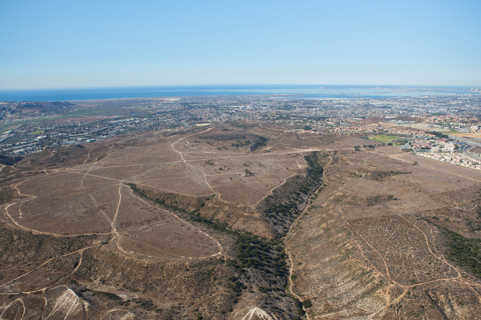
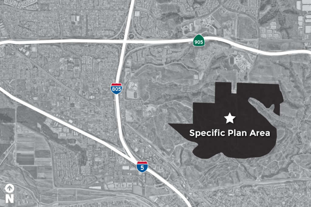
The newly-formed Southwest Village Subcommittee is working to help guide the planning process for the Southwest Village Specific Plan, an important component of the Otay Mesa Community Plan. The Plan will detail design and implementation guidelines for village areas, public spaces, transit and other amenities. This stakeholder-led subcommittee was formed by the Otay Mesa Community Planning Group and includes property owners, local leaders, constituents and citizens. The subcommittee will keep the community informed throughout the process and invites you to get involved to learn more and provide feedback about plans for the Southwest Village.
View the City of San Diego’s Otay Mesa Community Plan
View the City of San Diego’s Central Village Community Plan


